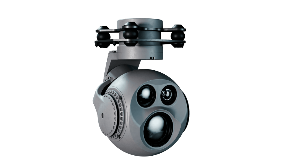
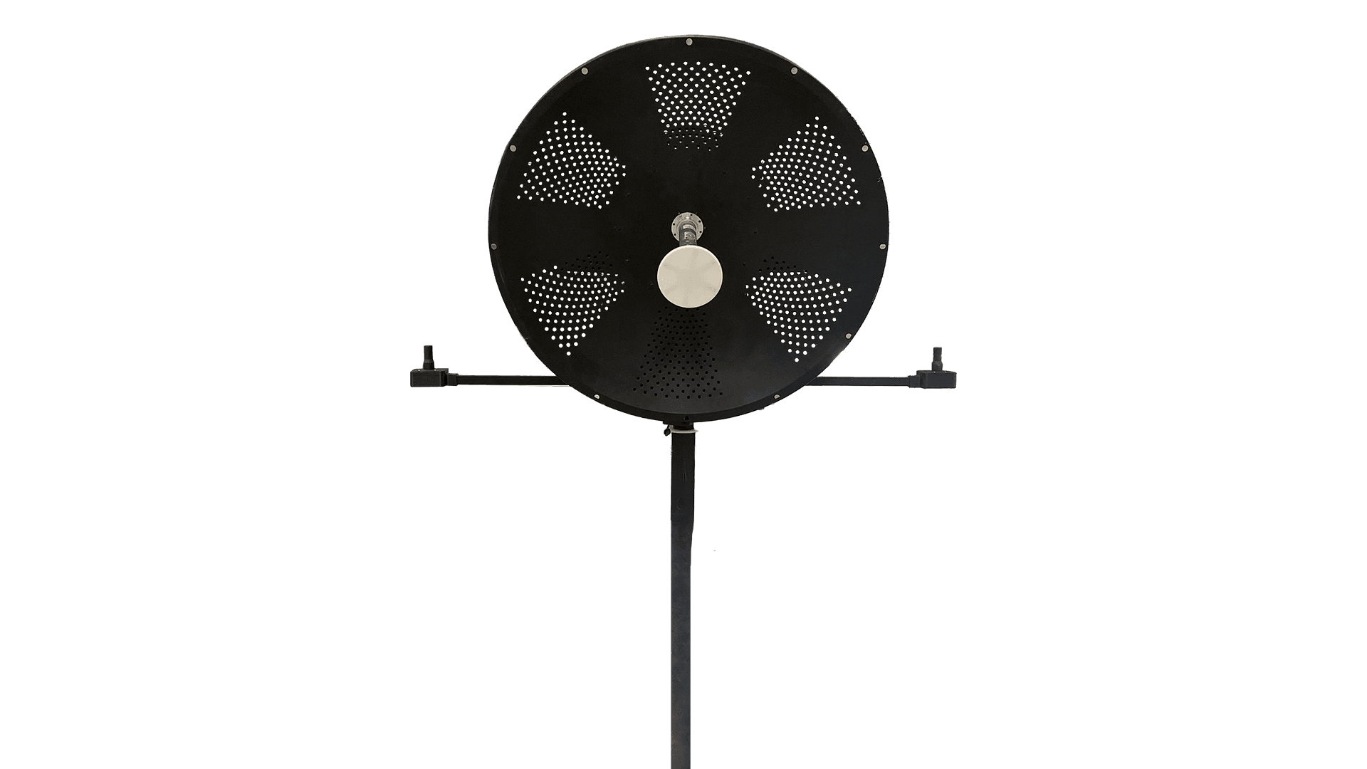
SIS031A
Intelligence, surveillance, and reconnaissance at the operational and tactical levels.
Tracking of fixed and moving targets on the ground (people, vehicles, and vessels). In addition to acquiring targets with precise determination of geographic coordinates, it can also be aimed at coordinates defined directly by the operator.
Detection, recognition, and identification ranges
Daytime detection
Humans: detected at 6 km, recognized at 1.5 km, and identified at 0.8 km.
Vehicles: detected at 15 km, recognized at 4 km, and identified at 2 km.
Tracking of land movements: vessels, trains, and groups of people.
Support for elite operations
SIS 031A supports critical missions, including:
Target acquisition (real-time geolocation).
Advanced observation with high-definition images.
Maximum accuracy shot adjustment.
License plate reading
Vehicle tracking
Facial recognition
Moving targets
Search and rescue
System Specifications
Power consumption
Typical 10.5W, Max 55W
Control
Ethernet
Tension
14.0V to 53
Local storage
Removable SD card (up to 256GB, class 10, FAT32)
Operating Temperature:
-20℃ ~ +50℃
Format of stored images
MP4 (1080P 25fps)
Video Interface
Digital (Ethernet)
Mechanical rotation limits
Pan: 360° continuous Tilt: -150° to +50°
Visible spectrum (RGB)
Focal length: 4.7 ~ 47 mm
HFOV: 61.3° ~ 6.8°
Resolution: Full HD 1920 x 1080
Zoom: 10x optical (30x combined)
Thermal camera (LWIR)
Focal length 18mm
HFOV 24.0º
Resolution 640x512@25fps
SIS031A
See also

XSIS 222A – Aeronave Tripuladas
- O XSIS 222A é um sensor EO/IR nacional desenvolvido para ampliar a consciência situacional de helicópteros em operações de segurança pública, patrulhamento...
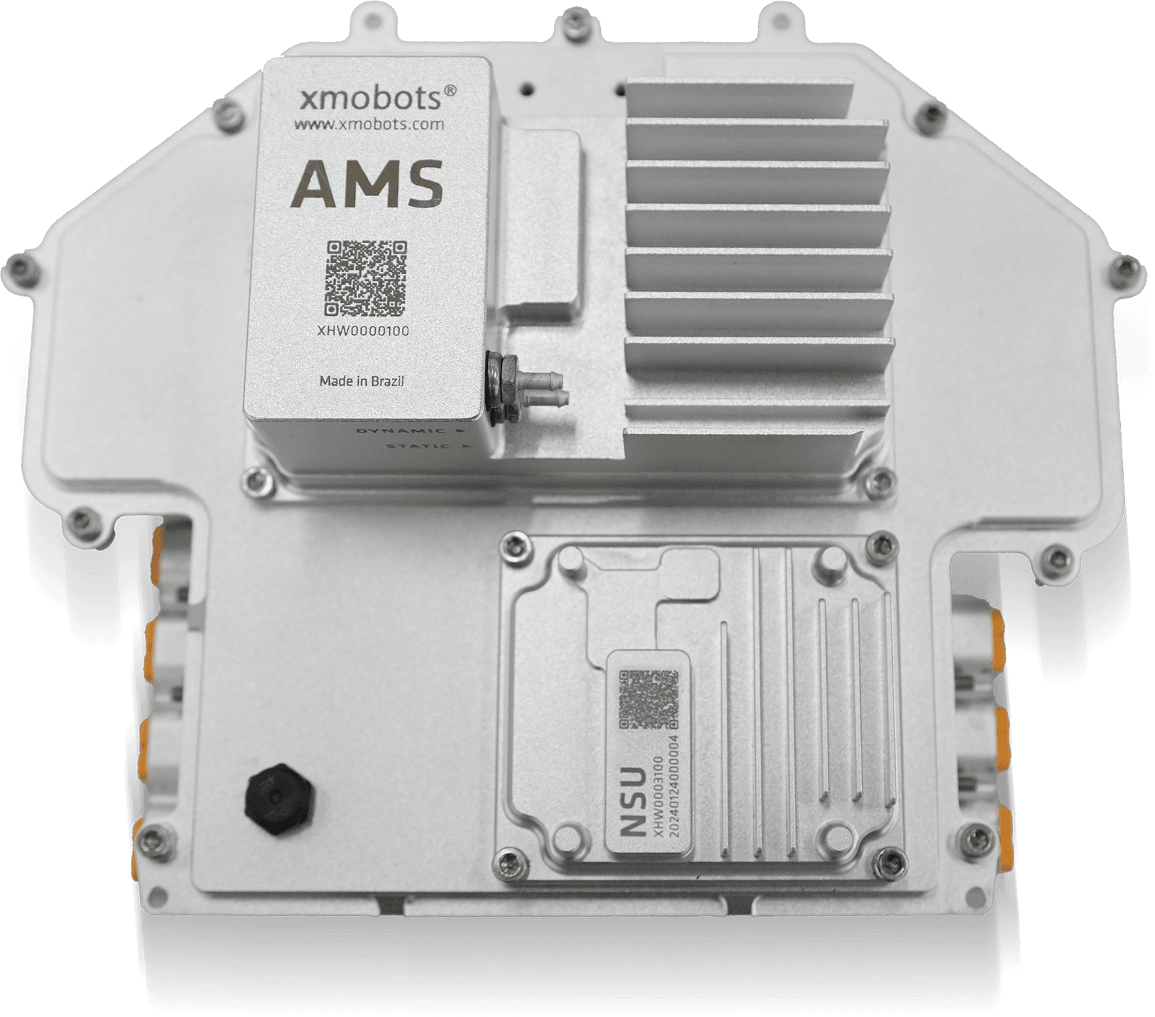
AMS7G
- 7th Generation Avionics System from the FW7 Platform Core technology of the Nauru 100D for more stable, safer, and smarter flights...

XPR
- Advanced reports for accurate decisions. Xmobots' XPR is software that concentrates and connects all data generated by the aircraft with the information defined in the mission, offering a complete and integrated view of the operation's results....
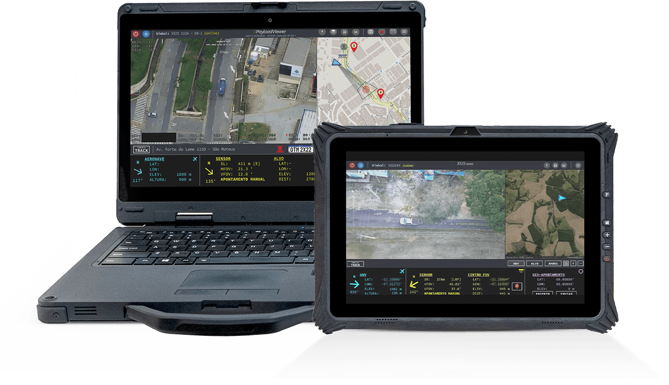
Portable GCS
- The Ground Control Station (GCS) is the operational center of Xmobots ARPs, concentrating essential command and control functions. Through it, the pilot controls the aircraft, monitors telemetry in real time, and manages the different payloads on board.
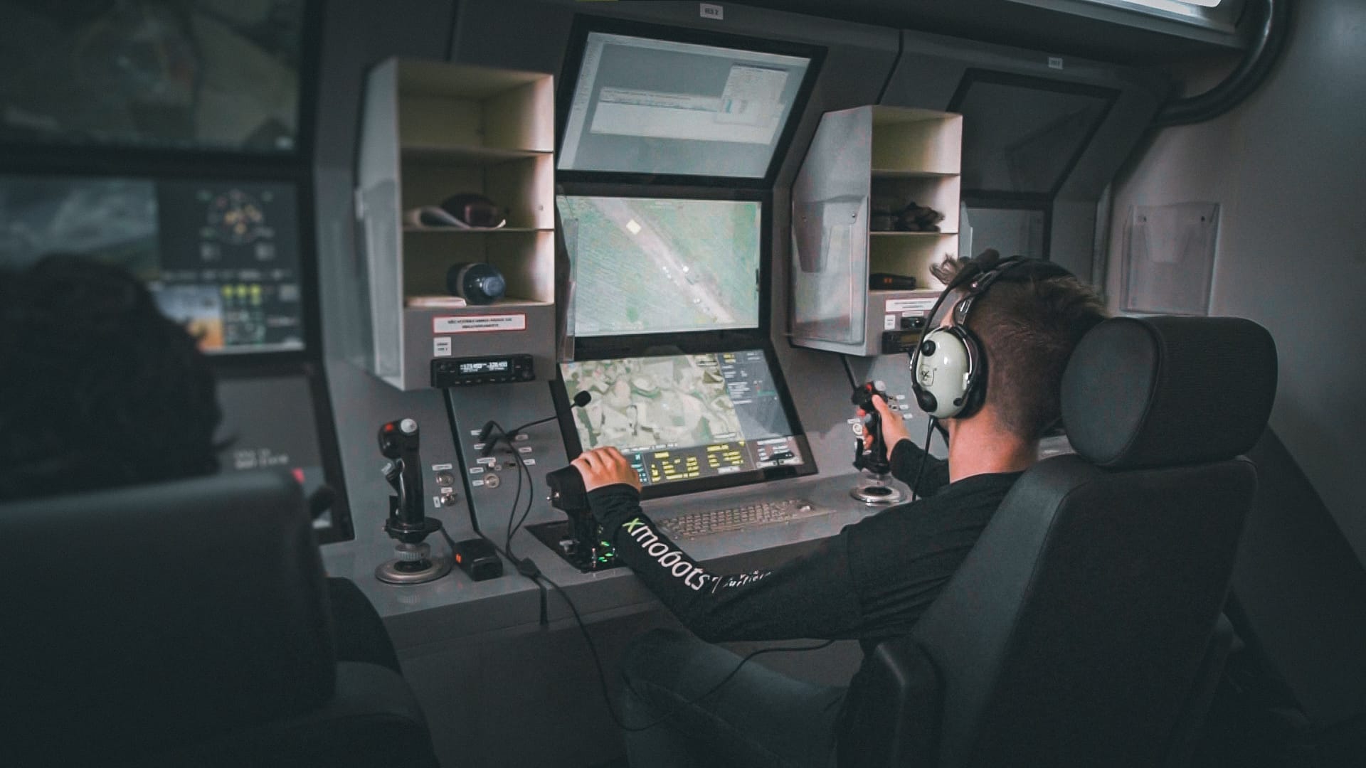
GCS319A
- The GCS (Ground Control Station) is the control station integrated into the Shelter system that connects the operator to the drones and their payloads, such as gimbals and radar, offering safe, efficient, and ergonomic operation, ideal for long-duration missions....
GDT
- The GDT is the terminal responsible for creating the point-to-point communication link between the ARP and the GCS. It ensures the secure and continuous exchange of commands, telemetry, and payload data throughout the mission...

XCOCKPIT
- XCOCKPIT is complete software for operating and monitoring drones, offering real-time control and detailed data analysis for efficient and safe mission management.
XPLANNER
- XPLANNER is an air mission planning tool, guaranteeing efficiency, precision and optimization of resources, ideal for those seeking to maximize the results of air operations.